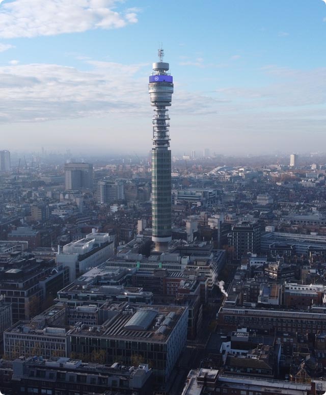
Using London Drone Company Ltd for a survey proved wise. The benefits of unmanned aerial surveys are generally obvious. One additional unforeseen, but very welcome benefit was that the camera picked up lines that my trained Chartered Surveyor’s eye did not see. Along a line of a terrace, it seemed that the houses were all set on the same lines and approximately the same size, but the survey revealed a one brick width offset which proved very useful. From the video obtained by the drone at a 50 m height above the roof, we were able to study the ridge lines and realise that the camera revealed the true layout. Money well spent.


